
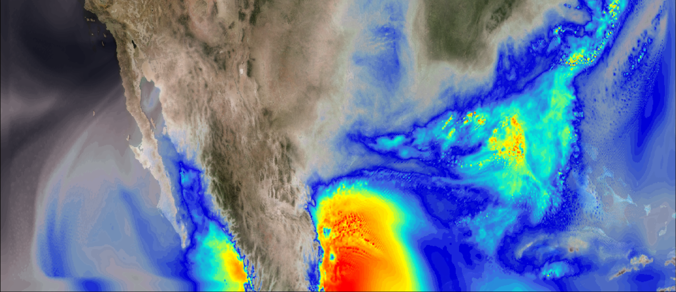
This visualization shows column integrated water vapor content over North America for the period April to June 2011, during which time one of the most destructive and deadliest tornado outbreaks to impact the United States occurred (April 25-28). Side-by-side comparison of the simulations show greater water vapor content in the simulated future climate, which can…
Read moreCategory: WRF
Surface Ozone Concentrations on the Colorado Front Range
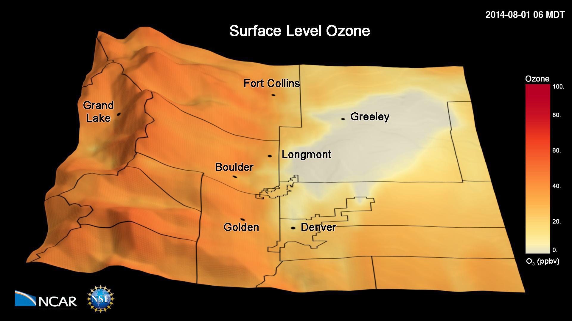
This animation shows simulated hourly surface ozone concentrations during the 2014 FRAPPÉ campaign. The simulations have been performed with the Weather Research and Forecasting (WRF) Community Multiscale Air Quality (CMAQ) model. The simulations have been conducted with a 4 km x 4 km grid horizontal resolution and show the frequent occurrence of high ozone pollution…
Read more